Torres del Paine
The Iconic Towers, Glaciers & Blue Lakes Of South America’s Most Popular Hiking Destination Deep In Chilean Patagonia
@ Laguna Torres, Torres del Paine National Park, Chile. November 23, 2015
Torres del Paine National Park, Chile
Located near the extreme south of Chilean Patagonia in the southern tiers of the Andes, Parque Nacional Torres Del Paine is a 2,400 km² protected wilderness of mountains, lakes, rivers and glaciers. South America’s most popular national park, Torres del Paine is a magnet for the outdoorsy type & the undisputed highlight of South America’s Southern Cone for many – the park can & does appease those coming here looking for good hiking/trekking, climbing, horseback riding, sailing and kayaking. Declared a Biosphere Reserve by UNESCO in 1978 (it’s not one of Chile’s 6 UNESCO sites), the park’s undoubted draw is the majestic sight, if you can see them, of the park’s Paine Massif, specifically the three iconic sheer granite towers that give the park its name, the 12 million-year-old Torres del Paine, Spanish for ‘Towers of Paine’, ‘Paine’ being the old indigenous name for the colour blue.
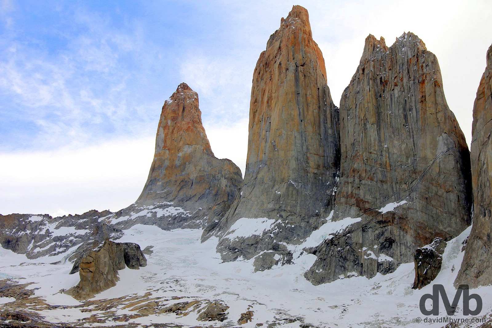
The iconic Torres del Paine, Towers of Paine, in Torres del Paine National Park, Chile. November 23, 2015.
I got/needed two bites at the Torres del Paine National Park cherry, getting reacquainted with the park while killing time waiting to embark on a trip to Antarctica from further south in Ushuaia, Argentina, a full day’s bus journey from Puerto Natales, the Chilean town used as an access point for the park. On my first visit I spent only a day in the park. The weather didn’t cooperate on that initial visit and I left without laying eyes on the park’s fabled granite towers (you can read my posting for that initial visit here). However, things were different on that second visit some 2 weeks later when I did Torres del Paine properly, spending 3 nights/4 days walking its classic ‘W’ Trek. This time the weather was great and the views unhindered (although the limbs sore) meaning I did get to see the elusive towers among many other natural Torres del Paine delights, not all of which are God-given.
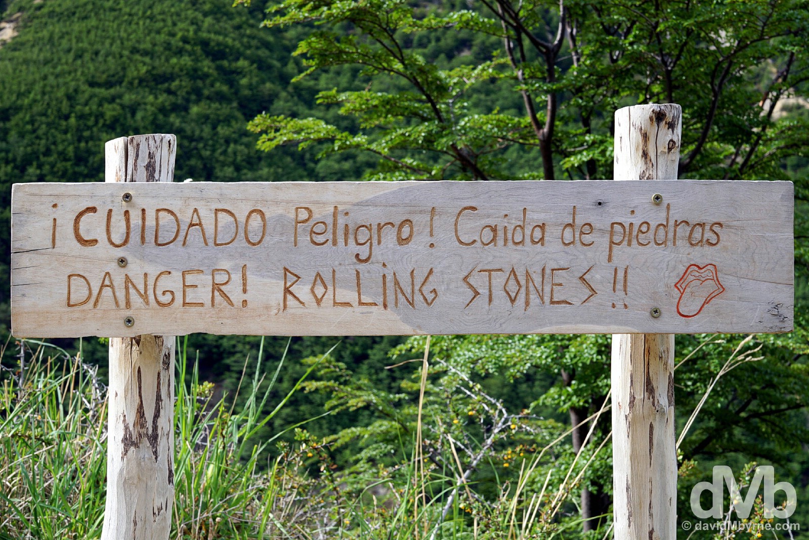
Signage with a sense of humour in Torres del Paine National Park. Captured on my first visit to the park. November 7, 2015.
W Trek || What Goes Up Must Come Down
The most highly trekked route in Torres del Paine National Park is the ‘W’, so called because its 70 kilometre-long trail system navigates up and down out of three mountain valleys tracing out a ‘W’. Probably the most popular hike in Patagonia, or maybe even on the whole of the South American continent, this undertaking is considered by many to be the trekking experience of a lifetime. The trek is advertised at taking five to seven days to complete with upwards of eight hours of hiking per day. I didn’t have five to seven days at my disposal, thus I crammed the trek into 2 full days & 2 half days of brisk, sometimes arduous walking, taking 22 hours over parts of 4 days to clock some 75 kilometres – the W is eminently doable in this time frame assuming, like me, you 1) (really) like to push yourself & 2) are physically capable. Overall the W is a taxing walk but not a difficult one, although the remote nature of the park, the sometimes rough trails and strong winds can humble even a seasoned trekker, something I am not.
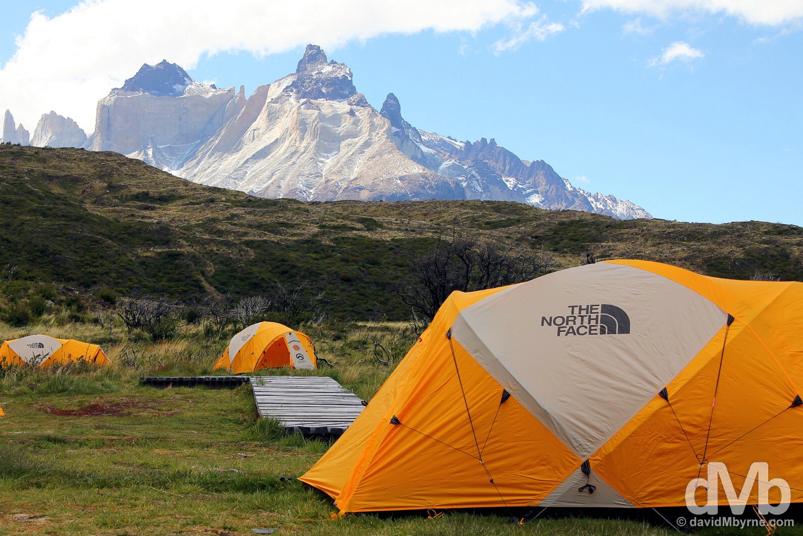
Campamento Paine Grande in Torres del Paine National Park, Chile. November 21, 2015. || The W trek can be walked in one of two ways – from east to west or west to east – and in varying levels of comfort, from more rugged camping style treks to full room and board in refugios (well stocked trail huts) along the trail where beds, food, showers & even a bar await you at the end of each day. I sampled the best of both worlds while erring more to the budget end of the scale – I, as most do, opted for camping & carrying with me all my food and supplies (tent, sleeping bag, sleeping mat, basic stove, cooking utensils etc. that are easily hired at reasonably economical daily rates from any number of camping/hiking suppliers in Puerto Natales) while using the facilities (communal huts/cooking areas, toilets, showers etc.) of the refugios. This is a picture of erected tents, none of which are mine, in the camping area, campamento, of the Refugio y Campamento Paine Grande, the first of three refugios I called home while in Torres del Paine National Park.
What follows is a day-by-day look at my ‘W’ trek exploits, 4 days during which I’m sure I saw Torres del Paine at its breathtakingly beautiful best.
Day 1 || November 21, 2015
Kilometres/ Hours Walked || 22 / 5
Day 1 Overview
07:00 – Bus from Puerto Natales to Torres del Paine National Park. || 10:00 – Registered at the park administration at Laguna Amarga & transferred to disembarkation point for ferry. || Noon – Ferry across Lago Pehoe to Refugio y Campamento Paine Grande. Registered for overnight stay & pitched tent. || 14:30 – Walked to the Glacier Grey lookout & back (22 km). ||
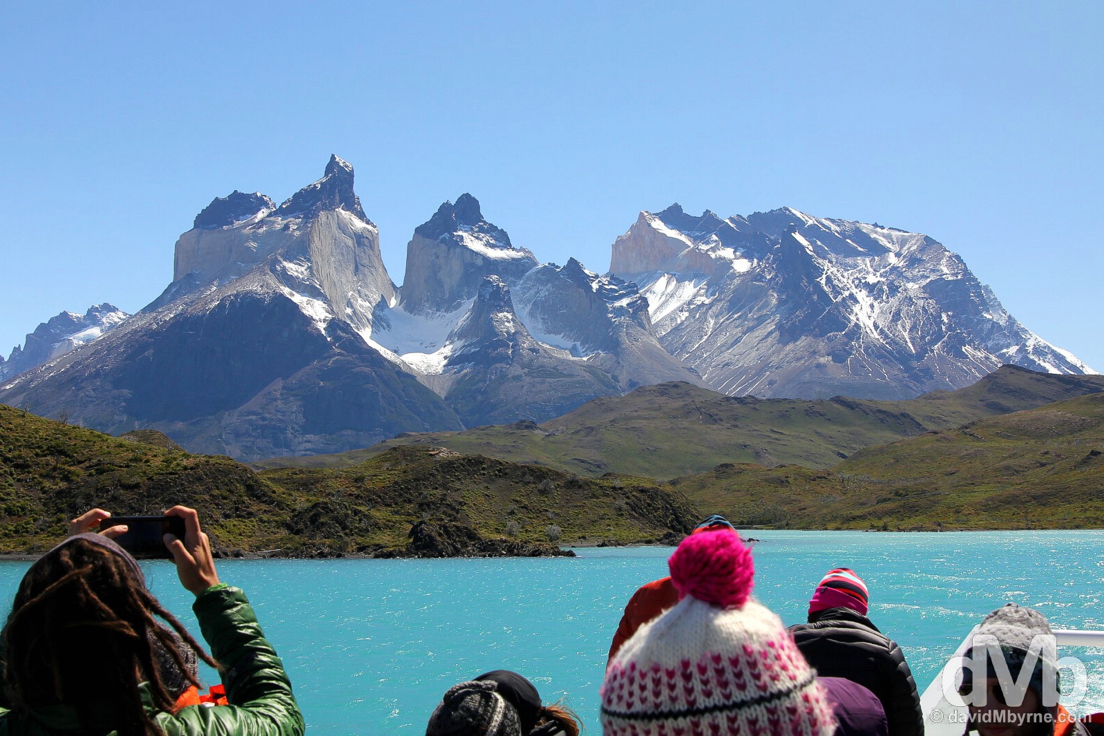
Day 1, 12:15 || The scenery was nice on a beautiful day when crossing a very blue Lago (Lake) Pehoe en route to Refugio y Campamento Paine Grande in the western portion of Torres del Paine National Park (yes, I walked from west to east). This view to the left, which a lot of passengers were capturing, is of Los Cuernos del Paine, the Horns of Paine, one of the park’s small but distinctive series of mountain peaks. Torres del Paine National Park, Chile. November 21, 2015.
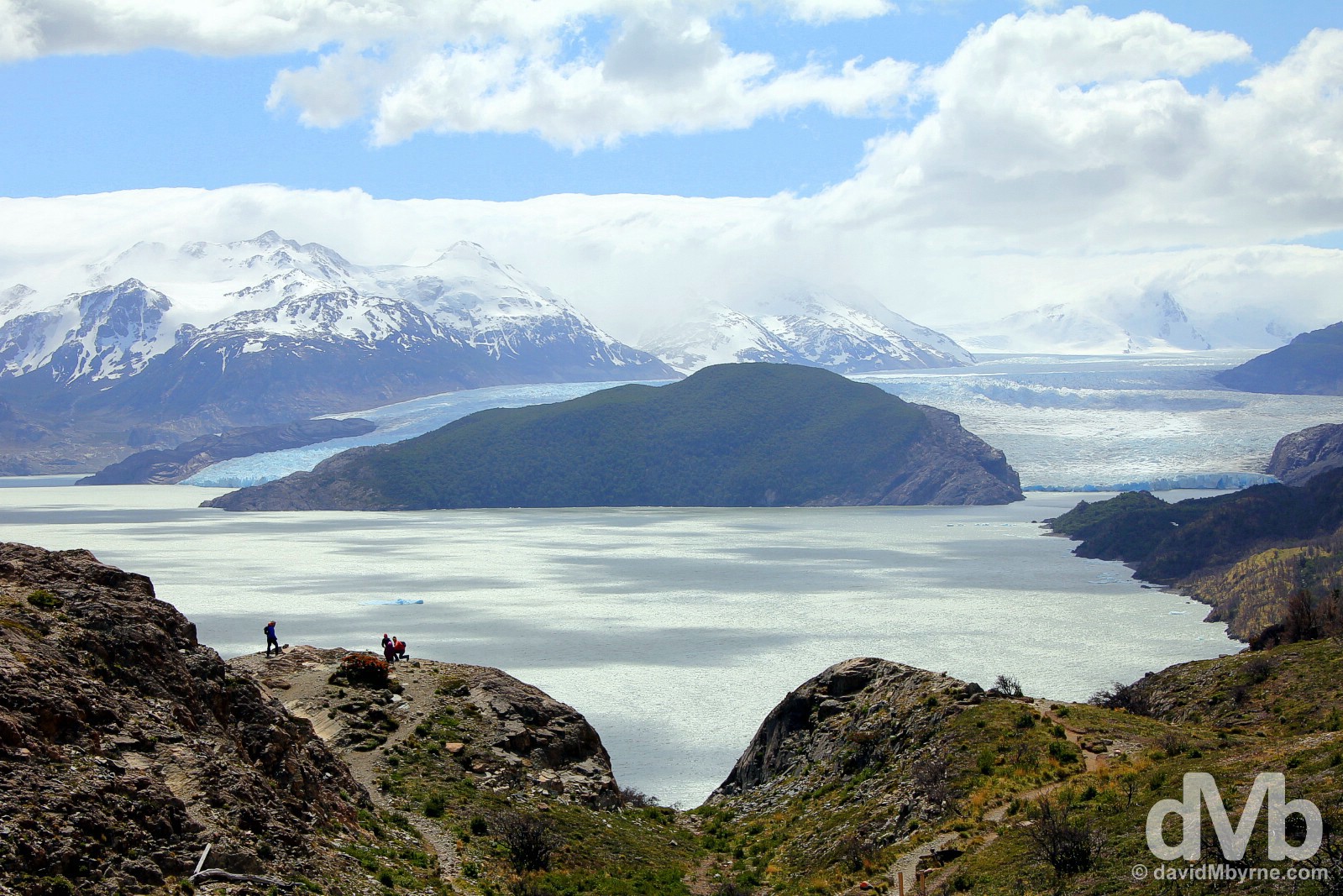
Day 1, 15:35 || The western portion/leg of the W trek sees you walking 11 kilometres from the Refugio y Campamento Paine Grande along the edge of Lago (Lake) Grey to a lookout for Glaciar (Glacier) Grey, the park’s largest glacier (by some way). A little over an hour into the walk and you’re treated to what was the highlight (& reward) of day 1 for me, a sweeping view of the lake & glacier. It was/is a spectacular sight helped, of course, by the good weather. Torres del Paine National Park, Chile. November 21, 2015.
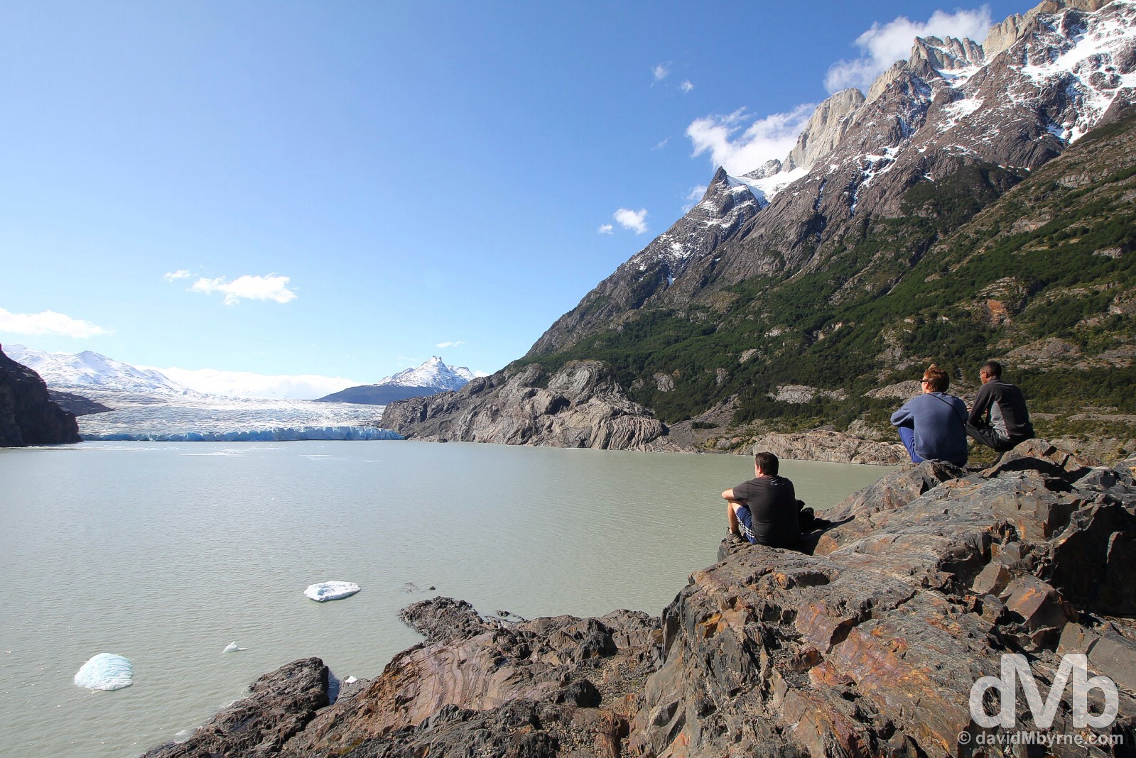
Day 1, 17:20 || My W trek buddies Stuart, who I shared a tent with, Tim & Amir, admiring the terminal face of Glaciar (Glacier) Grey by the edge of Lago (Lake) Grey. Eleven kilometes in and as far as we’d go on day 1, on the western leg of the ‘W’. The only problem with sitting here was that we’d another 11 kilometres to go on this day as we retraced our steps back to our pitched tents (& the bar) in Refugio y Campamento Paine Grande. Torres del Paine National Park, Chile. November 21, 2015.
Day 2 || November 22, 2015
Kilometres/Hours Walked || 22.5 / 7 hours 15 minutes
Day 2 Overview
10:00 – Set out from Refugio y Campamento Paine Grande for Campamento Italiano (7.5 km). || 11:45 – Arrived at Campamento Italiano. || 12:30 – Set out from Campamento Italiano up Valle del Frances for Britanico (5 km). || 14:30 – Arrived at Britanico. || 15:20 – Left Britanico for return down Valle del Frances to Campamento Italiano. || 17:00 – Left Campamento Italiano for Refugio y Campamento Los Cuernos (5 km). ||
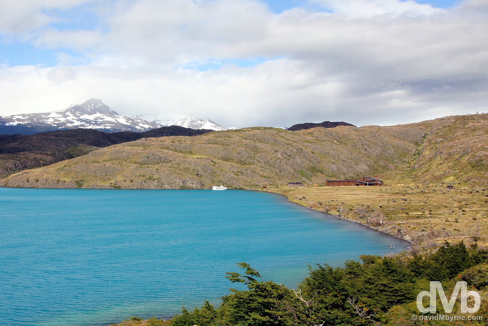
Day 2, 10:07 || The view back to Refugio y Campamento Paine Grande near the shores of Lago (Lake) Pehoe 7 minutes into the over 7 hours of 22.5 kilometre walking that would be done on day 2, another glorious day in southern Patagonia. Torres del Paine National Park, Chile. November 22, 2015.
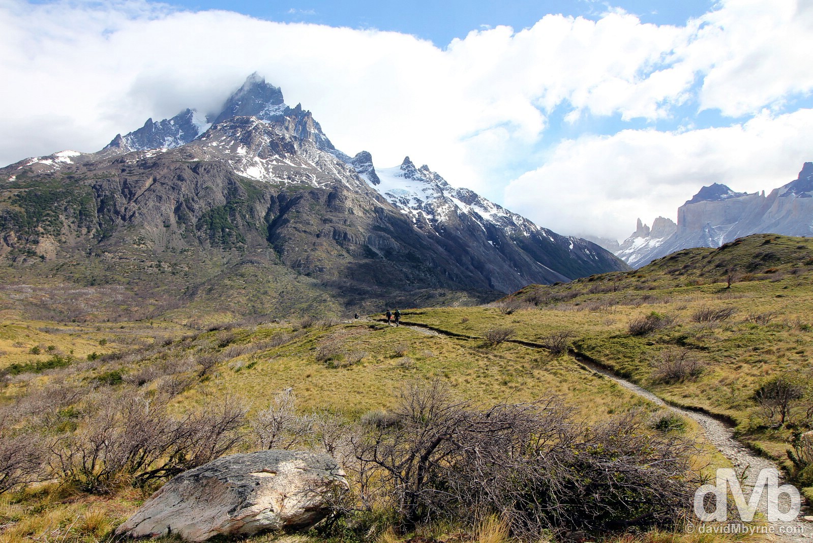
Day 2, 10:18 || On the trail from Refugio y Campamento Paine Grande to Campamento Italiano in Torres del Paine National Park, Chile. November 22, 2015.
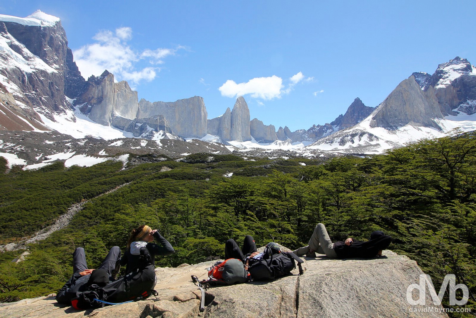
Day 2, 14:33 || With a rise of almost 1 kilometre in altitude, the 5 kilometre-long trek from Campamento Italiano up the Valle del Frances to the lookout at Britanico, the middle portion/leg of the of the W trek, was probably the most taxing portion of whole 70 kilometre+ shebang. But the beautiful view of the granite peaks seemingly encircling Britanico made it worth all the (sweaty) effort. Torres del Paine National Park, Chile. November 22, 2015.
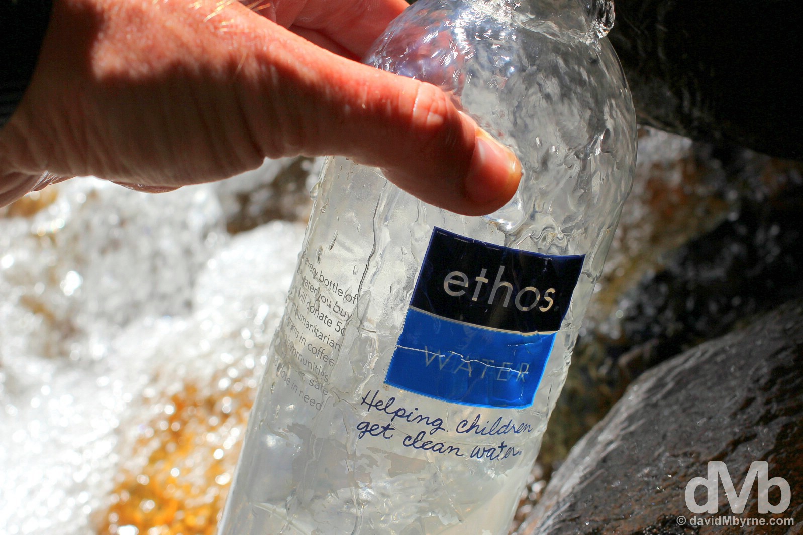
Day 2, 15:30 || Replenishing water from a stream in Valle del Frances en route back to Campamento Italiano. Keeping hydrated in Torres del Paine National Park is never a problem. And needless to say the water on offer from the park’s streams & rivers is pristine, much better than the water I initially received in this bottle when I bought it back on May 30 in Puerto Rico – yes, I’ve been carrying it since then and I refuse to let it go. Torres del Paine National Park, Chile. November 22, 2015.
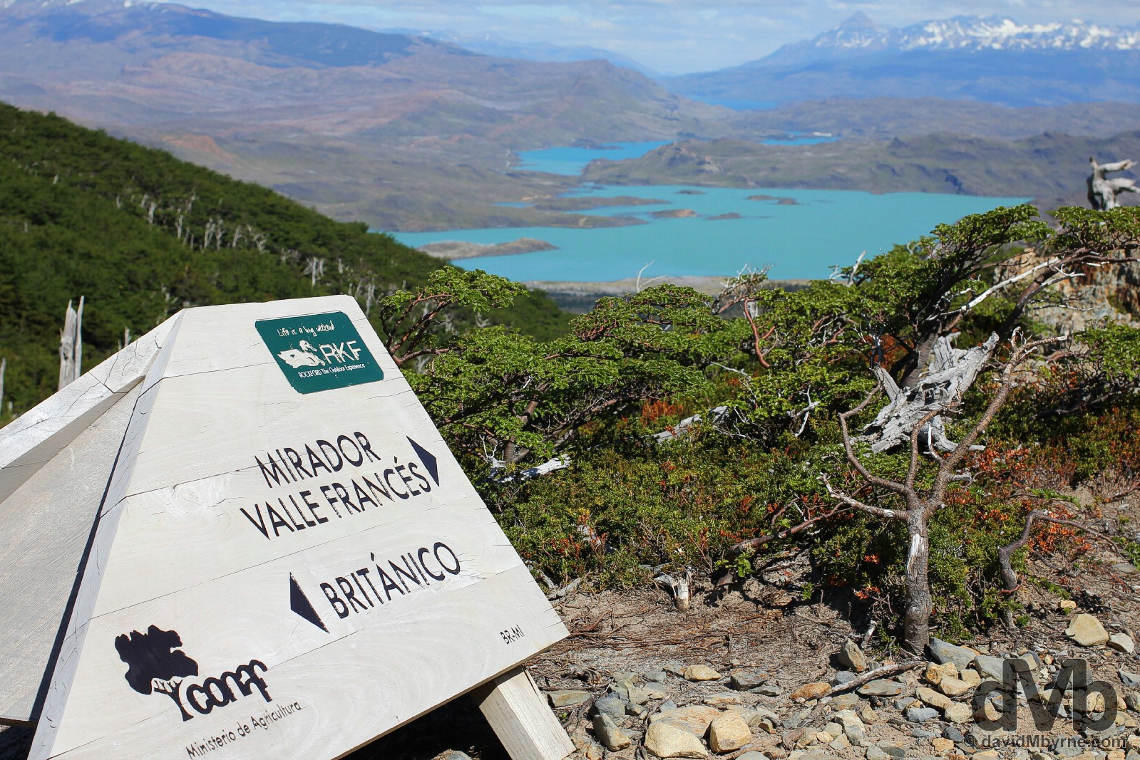
Day 2, 16:20 || Signage in Valle del Frances approaching the Campamento Italiano after the return from Britanico. From Campamento Italiano it was another 5 kilometres, and almost 2 hours of walking, to Refugio y Campamento Los Cuernos, the overnight stop for day 2. Torres del Paine National Park, Chile. November 22, 2015.
Day 3 || November 23, 2015
Kilometres/Hours Walked || 19 / 7 hours 15 minutes
Day 3 Overview
09:30 – Set out from Refugio y Campamento Los Cuernos for Campamento Torres (14 km). || 13:50 – Arrived at Campamento Torres. || 16:00 – Set out from Campamento Torres for Laguna Torres at Base de las Torres (1 km). || 17:30 – Returned to Campamento Torres & walked to Refugio y Campamento Chileno (4 km). ||
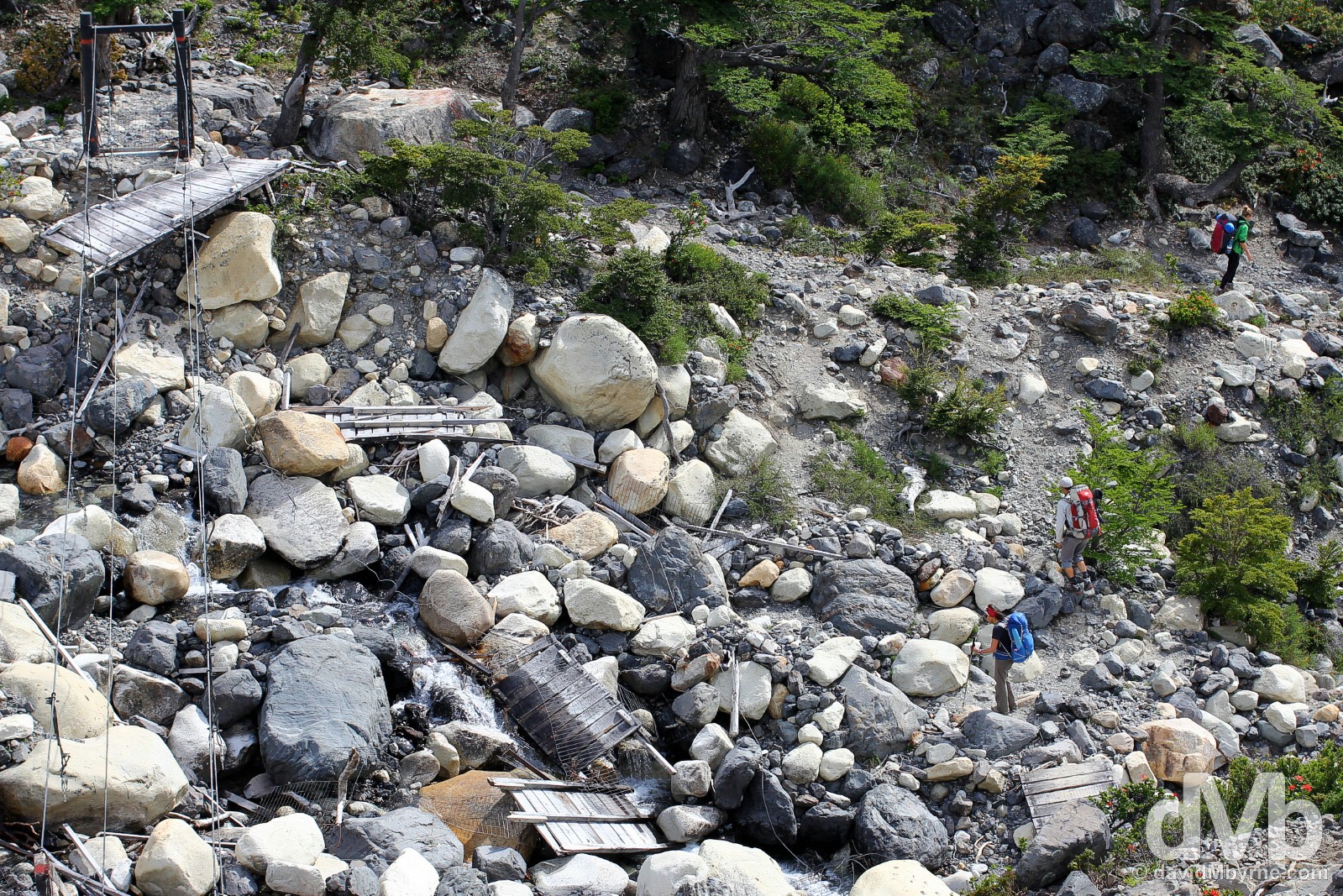
Day 3, 10:43 || A fallen bridge. Even done cheaply, a Torres del Paine trek is still a bit of an outlay. And with the amount of trekkers the park attracts, I can only assume the park is quite the earner for both the Chilean government & the private land owners who own some of the park’s territory. This is a picture of a fallen bridge on a piece of Torres land that rests in private hands, hands who obviously care little for the upkeep of trekking infrastructure. Torres del Paine National Park, Chile. November 23, 2015.
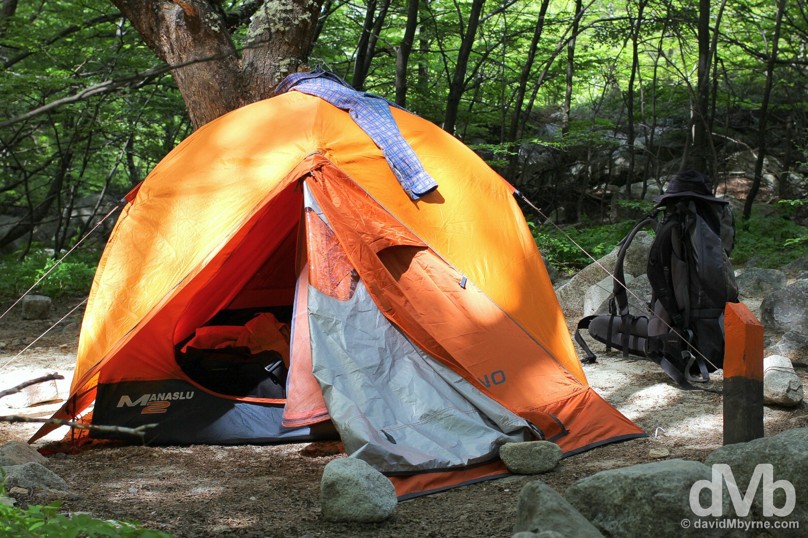
Day 3, 14:50 || My sweaty trekking gear on this day drying in the afternoon sun while resting on my tent in Campamento Torres. I set up camp here, a free campsite with very few facilities, in the early afternoon before upping pegs and moving to Refugio y Campamento Chilano, a paid campsite with facilities I’d become accustomed to over the previous few days, later in the evening. Sometimes even a camping backpacker needs something more than what you get for free. Torres del Paine National Park, Chile. November 23, 2015.
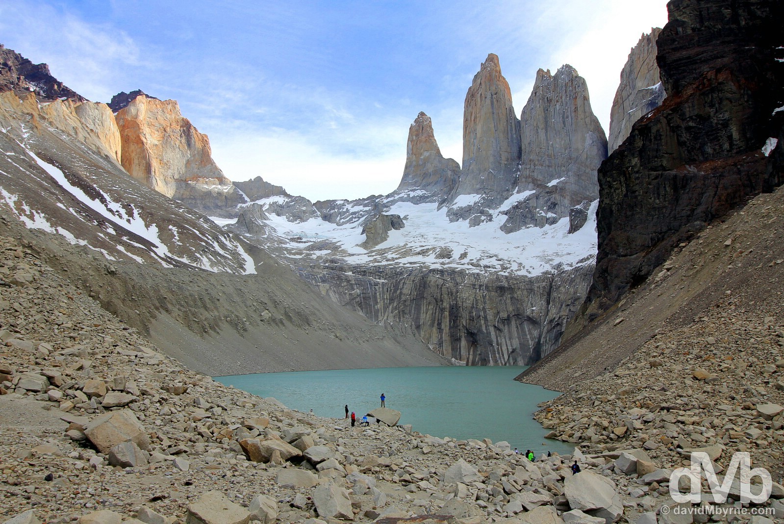
Day 3, 16:42 || Finally. The Torres del Paine National Park blue-ribbon sight, the famed 2,500 metre-high sheer granite towers that give the park its name, the 12 million-year-old Torres del Paine, Towers of Paine, as seen from the Base de Las Torres trail head at the edge of Laguna Torres. Having failed to see them on my first visit here 17 days earlier, when they were stubbornly shrouded in mist, this sight on this day was a very welcomed not to mention spectacular one. Torres del Paine National Park, Chile. November 23, 2015.
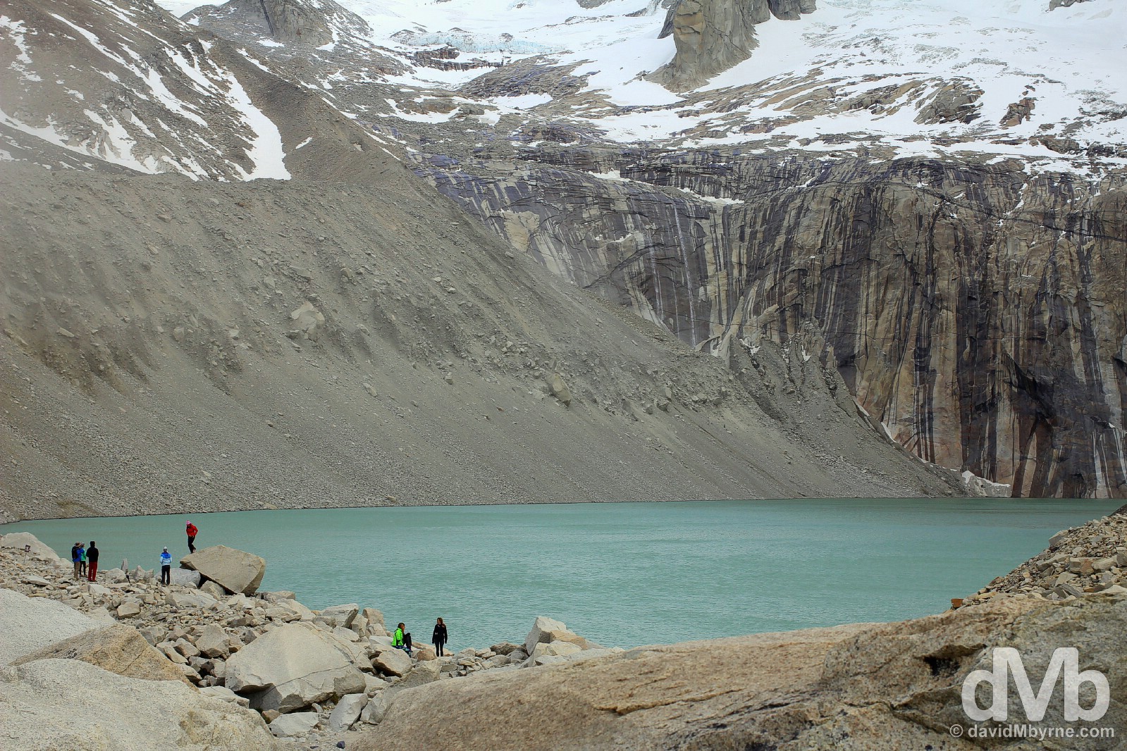
Day 3, 16:50 || Laguna Torres, Torres del Paine National Park, Chile. November 23, 2015.
Day 4 || November 24, 2015
Kilometres/Hours Walked || 12 / 2 hours 30 minutes
Day 4 Overview
10:20 – Set out from Refugio y Campamento Chileno for the park administration office/bus stop at Laguna Amarga (12 km). || 12:40 – Arrived at Laguna Amarga. || 14:30 – Bus back to Puerto Natales. ||
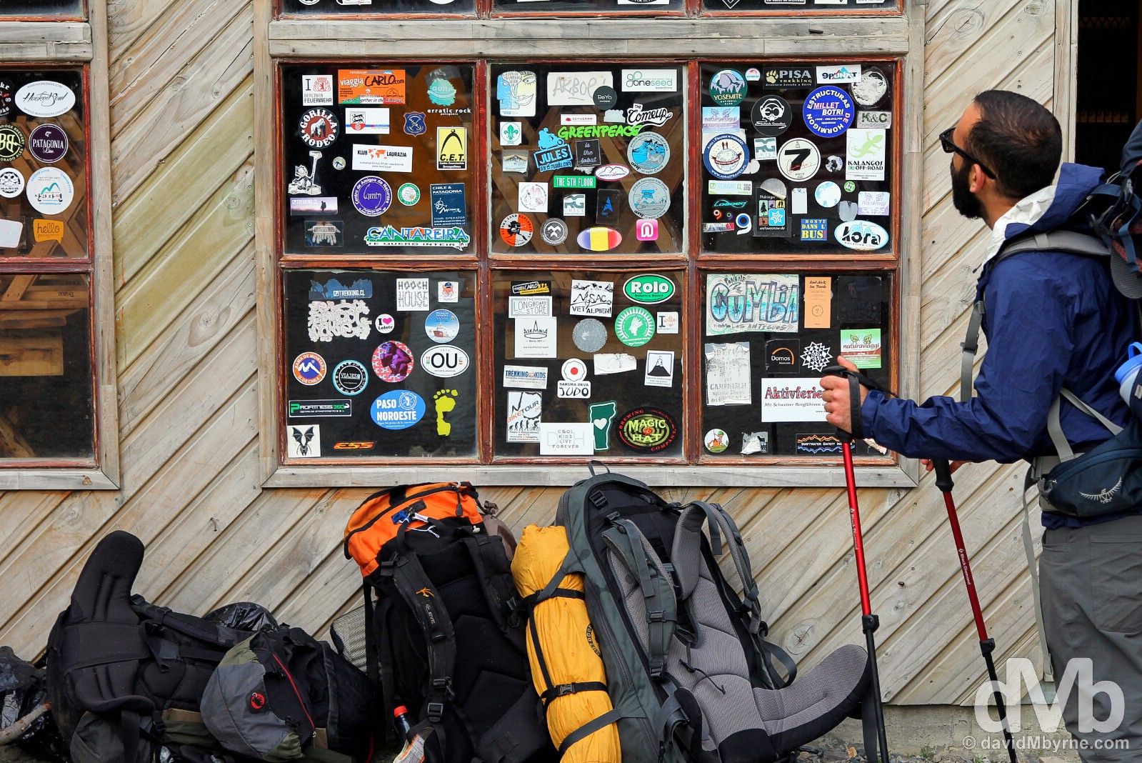
Day 4, 10:20 || The last leg. A hiker setting out from Refugio y Campamento Chileno for Laguna Amarga in Torres del Paine National Park, Chile. November 24, 2015.
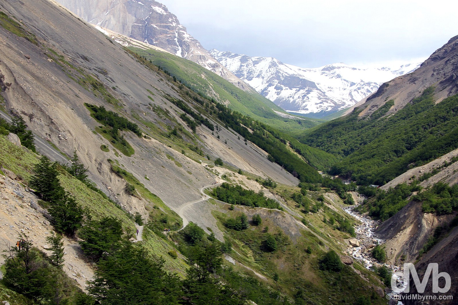
Day 4, 10:36 || Looking back towards Refugio y Campamento Chileno while on the windswept trail to Laguna Amarga. Four times I walked this portion of the trail, twice (up & down the valley) on my first visit and twice on this visit. It was windy each and every time – the valley, as pretty as it is, seems to act as something of a wind tunnel; I was battling fierce winds when taking this picture. Torres del Paine National Park, Chile. November 24, 2015.
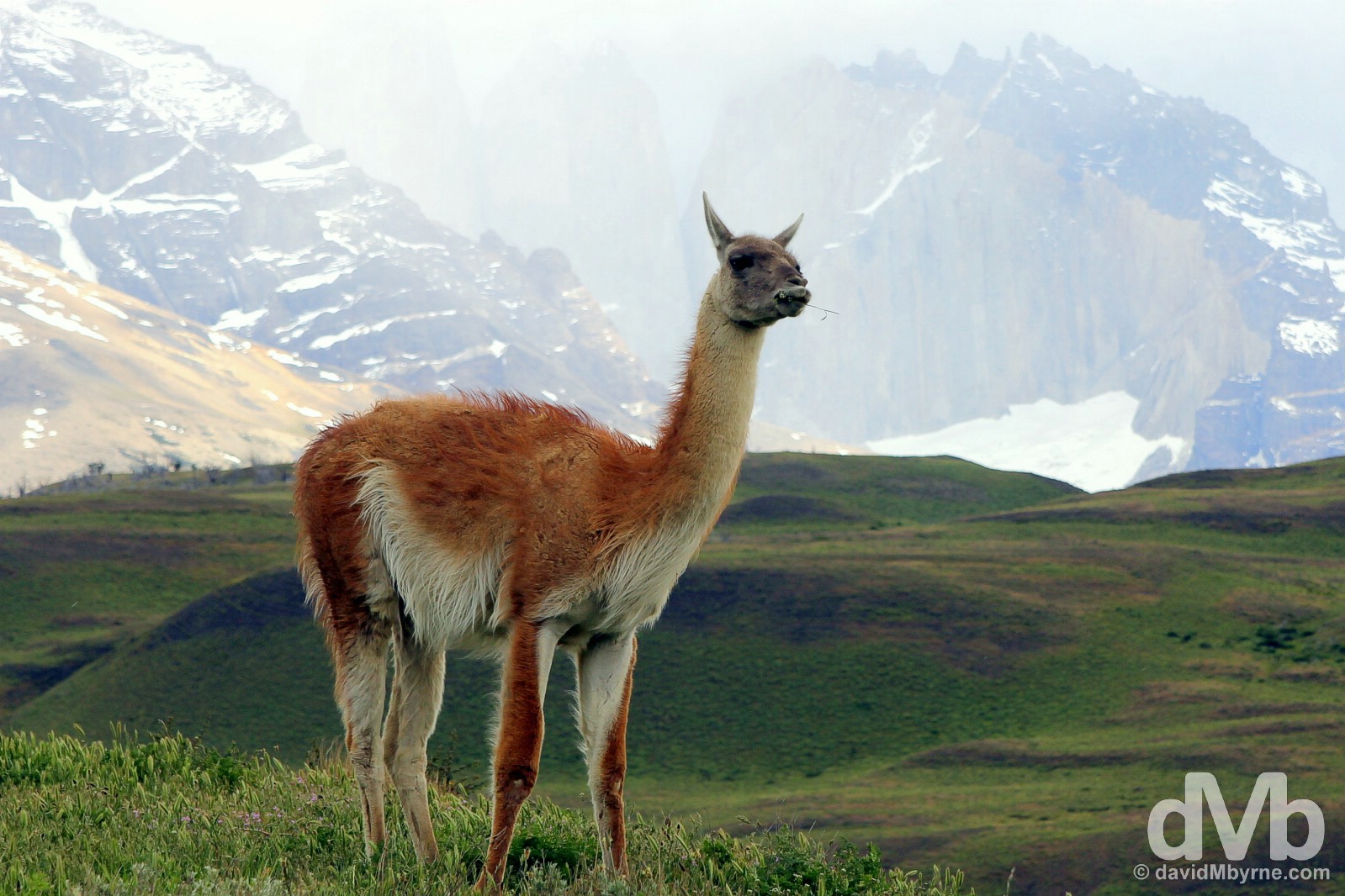
Day 4, 12:50 || Having finished walking – 12 kilometers on this day, 75 kilometres overall – I had to wait at the park administration at Laguna Amarga for almost 2 hours for the bus out of the park; transport to and from the park is at most twice a day. The time passed slowly, muscles were tender & it was cold. About the only distraction on offer as I waited was this guanaco, a wild llama, of which there are more than a few in this grassy eastern region of the park. Notoriously jolty & suspicious of humans, this guanaco was quite content to pose while I was photographing him, albeit from a distance. Hidden in the background are the Torres del Paine, shrouded in mist just like they were on my first visit to the park 17 days earlier. Visible for the three days up to this point, clouds finally enshrouded them as I was waiting to bid the park adieu for the second and final time. Torres del Paine National Park, Chile. November 24, 2015.


